Picture and Map from the Indian History chapter
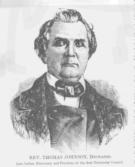
Rev. Thomas Johnson, Indian Missionary
Map of Eastern Kansas in 1854
,
showing the location of Indian lands,
trading posts, Indian missions and schools,
and military roads.